 The Davidson College Library and Archives has launched Under Lake Norman, an interactive mapping project that falls under the rubric of our Community Space website. This initiative is part of the world of crowdsourcing–where archives and special collections create opportunities for community members to share their skills and knowledge.
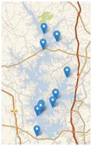
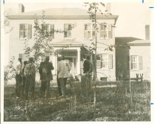
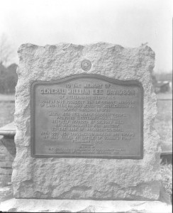
For this project, we are looking for images and information about structures or locations that went underwater when the waters of the man-made Lake Norman rose in 1963. The website features an interactive map that includes sites we have identified to date either through historical research or public submissions.
Help us fill in the map by sending in digital copies of photographs or writing up accounts of places that are now under the lake. As we build the site, we are including pictures and extended essays describing the sites and their historical significance.
 If you know of any locations that should be added to the Under Lake Norman project, please visit the site and submit them. If you know of classes at your institution, have patrons who would be interested in contributing, or know of local historical societies who might like to help, please share the link: http://davidsonarchivesandspecialcollections.org/archives/community/under-lkn/


Speak Your Mind