This week’s post is written by Dr. Anelise H. Shrout, a Visiting Assistant Professor in the Department of History.
In my perfect world, all history classes would be taught using archival collections, and all history students would learn not just what historians do, but how we do it. This year, I’ve had the pleasure of teaching historical practice through Davidson’s own archives – and particularly through the Davidson College Map Collection and the William Patterson Cumming Map Collection.
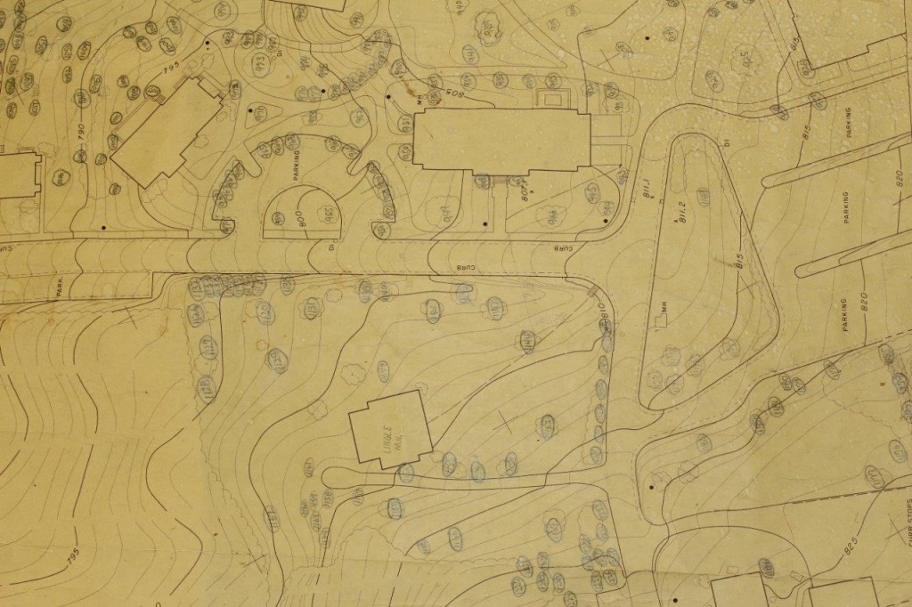
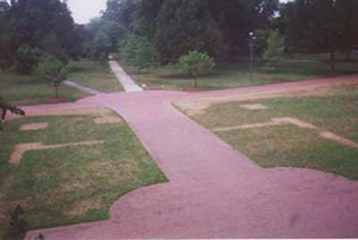
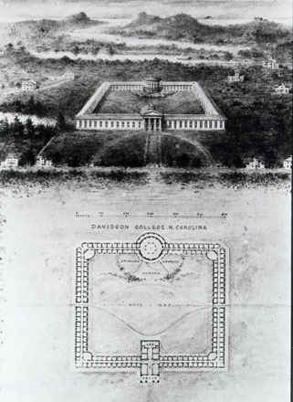
On the first day of classes this semester, (and during Caitlin’s “A Week in the life of an Archivist”) I asked students in my environmental history class to describe the most natural space on campus. Most mentioned the trees, some talked about the cross country trail, and one mentioned the squirrels, but the overall consensus was that plants and animals are natural, and buildings are not. At the end of class that day, we walked over to the college archives, and spent the remaining time looking at old maps and pictures of the campus. We perused a tree map from 1962 and a “shrub survey” from 1984 that meticulously noted the position of the plants that make up Davidson’s “natural” environment. We saw pictures of the “ghost of Old Chambers” and images of the campus entirely devoid of trees. For me, the most interesting images were the might-have-been maps, which showed proposed, but never realized, alterations to the campus landscape (I’m still hoping that they decide to install the once-planned reflecting pool in front of Chambers!)
Pedagogically, this exercise was meant to complicate the rigid divide between “natural” and “unnatural” space, but I think that there was also something useful in showing students documents that shape their everyday lives. Holding the actual maps that dictated which elms be placed in once place, which bushes in another, and how the two trees I’ve often seen supporting hammocks on the weekend got where they are, remind us of Davidson College’s long history, and the generations of people – both students and campus workers – who worked to shape Davidson’s environment as it is today.
Maps – albeit much older ones – animated my second archival trip of the semester. Students in my survey of U.S. history to 1877 are required to write primary source analyses; the first of which must draw from the William Patterson Cumming map collection. Unlike the campus physical plant maps, these are digitized, and I probably could have run the entire assignment from my classroom in Chambers, reading digitized descriptions and zooming in and out of the Luna map browser.
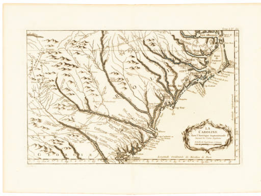
But, despite digital availability, there is, again, something unique about seeing, and touching the artifacts that you are studying. By looking at them up-close, my HIS 141 students were able to examine the differences between maps made for ostentatious public display, and those made for everyday use. They were able to see the hand water coloring on Emanuel Bowen’s New Map of Georgia and the meticulously drafted (though geographically inaccurate) mountains on Jaques Bellin’s map of North Carolina.
Going to the archives lays bare one part of what historians do, but perhaps most importantly, these trips to view and touch these objects remind us that the artifacts we often see reproduced in books or in excerpt are real objects, used by real people – and in the cases of some of the maps I have the privilege of teaching with, used to explore North Carolina over two hundred and fifty years ago.


Interesting. This approach might have given me a greater appreciation of history
You make it sound like it would be fun to sit under your feet. Glad Dr. Cumming’s maps are being put to such good use.