Most of us experience the campus and town at ground level. What we see and how far can depend on how tall we are. Aerial photographs in the archives can make us taller – and let us see our world from a different perspective.
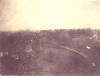 One of the oldest images we have is from the 1870s. It shows parts of campus and the area around and is a reminder of how rural the area was and how much the tree canopy has changed.
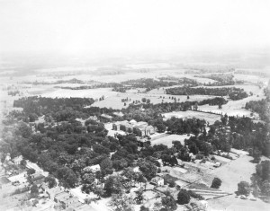 The new Chambers Building (completed in 1929) is front and center, but this photo also provides a good look at the rooftops of downtown Davidson (left corner) and the farm land to Davidson’s north and east.
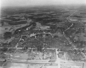 A change of seasons creates a different sense of the area. Taken only a few years later, the bare trees show more buildings and a clearer outline of the downtown business area. Concord Road has only a few homes and showing just a bit in the right corner, what we know now as the town green is covered in trees.
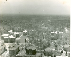 This image is from the early 1950s looking south across campus. It shows the new Davidson College Presbyterian Church and the soon to be demolished Rumple Dormitory (bottom center) as well as showing how undeveloped much the area was.
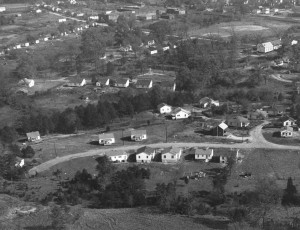 Also from the early 1950s, this photograph shows the west side of town. The baseball diamond is now Sadler’s Square Shopping Center and the Davidson Cotton Mill is in the upper center of the image.
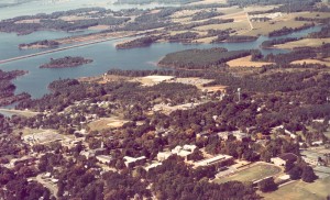 Lake Norman was created in 1963, this image shows the lake and I-77 as well as the town’s two mills and much of the mill village area. Notice that the baseball diamond is still in place.
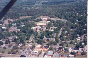 We’ll end in the 1990s with a view close to the perspective of the 1870 shot.

I just found this blog while trying to create the newsletter here. Have wanted to learn more about the College’s history, and am so excited to stumble upon this. Thanks, Jan! I’ll be reading more!
– Rita