
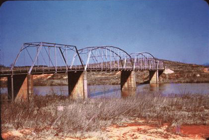
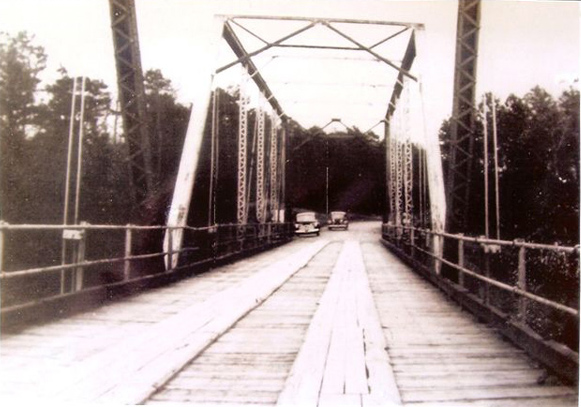
Beatties Ford Bridge, which carried the pre-Lake Norman route of Highway 73 across the Catawba River, was demolished during the construction of Lake Norman.
Location (approximate): 35.479, -80.949
Sources:
Stenhouse, J.A. 1952. “A map of historic Mecklenburg and lands which were once a part thereof” [cartographic material]. Originally published as part of: Exploring old Mecklenburg, James Alan Stenhouse, 1552.